2018-10-17

- By ChinaWiki.net
- Chinese Edition
- 2020-12-14
Geomorphological characteristics of Mianyang
(1) The terrain is high in the north and low in the south, and the height difference is large. The northwest of Mianyang City is located in the eastern edge of the Qinghai Tibet Plateau, with high terrain and overlapping peaks. The southwest part belongs to the northwest part of Sichuan Basin, with continuous hills, and the terrain drops significantly. The topography of Mianyang City inclines from northwest to Southeast. The highest point of Mianyang City is Xuebaoding, the second highest peak of Minshan mountains, which borders Pingwu County and Songpan County, with an altitude of 5400 meters. The southeast part of the basin is hilly in Sichuan Basin, with an average elevation of 400-600 meters. The lowest point is at the mouth of the Qijiang River Valley in Jianzhong Township, Santai County, with an altitude of 307.2 meters. Within a distance of 300km to the south of Mianyang City, the height difference between the highest point and the lowest point is 5092.8m.
(2) The landform type is complex, and the difference between North and south is great. The spatial distribution of geomorphic types in Mianyang City is quite different. In the northwest, it is mainly middle and low mountains; in the southwest, it is mainly hills and flat dams; in the southeast, it is mainly deep hills and low mountains.
(3) The geomorphic pattern is controlled by geological structure. The strike of mountains and rivers is consistent with the axis of folds, faults and rock strata; the geomorphic morphology is also controlled by the structural line, lithology and occurrence of rock strata; the occurrence and shape of folds affect the geomorphic morphology; the Piedmont depression zone on the geological structure controls the formation and distribution of alluvial proluvial plain.
(4) The rivers and canals are crisscross and the water network is dense. The northwest of Mianyang City is high and precipitous, with abundant precipitation, which makes it the birthplace of rivers. The main stream of Fujiang River and its tributaries form a dense water network, which runs from northwest to Southeast, and flows into Fujiang River one after another and leaves the country in Santai County.
Geomorphic types
According to the difference of geomorphic morphology, the geomorphic types of Mianyang City can be divided into 12 types: flat dam, platform, low hill, high hill, low middle mountain, middle mountain, high mountain, extreme high mountain, mountain plain, high mountain, water surface, etc.
According to the geomorphic morphology and lithologic characteristics, combined with the principle of external forces, the geomorphology of Mianyang City is divided into two types: erosion accumulation landform and tectonic denudation landform. There are five units: Valley alluvial plain, alluvial proluvial hill like platform, ice water accumulation plateau platform, deep cutting high hill area and shallow cutting high hill area.
1. Erosion accumulation landform
It is formed by erosion and accumulation of ancient and modern rivers, and the distribution range of terraces and modern river valleys belongs to this type.
(1) Valley alluvial plain. The first terrace is the main body of the local physiognomy unit. The modern riverbed of Fujiang River and Anchang River is U-shaped, with different width, asymmetric banks, scarps and bare bedrock.
(2) Alluvial proluvial mound platform. It is exposed along both sides of the Fujiang River and the Anchang River, including the distribution range of the second and fourth terrace. From north to South are Southwest University of science and technology Hejiashan horticultural mountain Puming area. In addition, there are gejiabazi and Wulidui to the east of Fujiang River, and Nanshan Temple Wujiaba Daliangzi to the south of Anchang River.
(3) Ice water accumulated on the plateau. The distribution range is very large, and the table surface gradually inclines from northwest to Southeast. The terrain in the platform is flat, the valley is wide and shallow, the relative height difference is only 15-20 meters, and the edge topography is steep. This geomorphic form is in the east of Fujiang River and the south of caobachangping platform.
2. Tectonic denudation landform
The tectonic denudation landform is mainly distributed in the southwest of Mianyang City and most areas to the east of Fujiang River, with an altitude of more than 500 meters. The top of the mountain is qiqusi formation, without quaternary accumulation, and belongs to the tectonic uplift denudation area. According to the mountain height classification standard of Institute of geography, Chinese Academy of Sciences, it belongs to high hilly landform. According to the cutting depth, it can be divided into two sub types of geomorphic units.
(1) Deep cut high hill area. The area to the east of Fujiang River except for the above-mentioned hilly platform. In this area, the mountain top is generally above 540 meters above sea level, with a few reaching 600 meters. The geomorphic unit of deep cutting high hill area is also the section with larger cutting depth in the urban area. The maximum cutting depth is 150 meters (for example, from dongtaliang in the east of Mianyang City to Fujiang River), which is generally about 100 meters, the width of river valley is generally about 500 meters, and the slope angle on both sides of the valley is less than 15 degrees.
(2) Shallow cut high hill area. Located in the southwest of Mianyang City, the general peak elevation is above 520 meters, and the highest Ma'anshan is 581 meters. The valley is wide and shallow, U-shaped, with a cutting depth of 20-30 meters and a maximum of no more than 100 meters. The terrain in the area is gentle, and slope diluvial deposits are widely developed in the valley.
Ask a Question
Your email address will not be published.
Latest Post
-
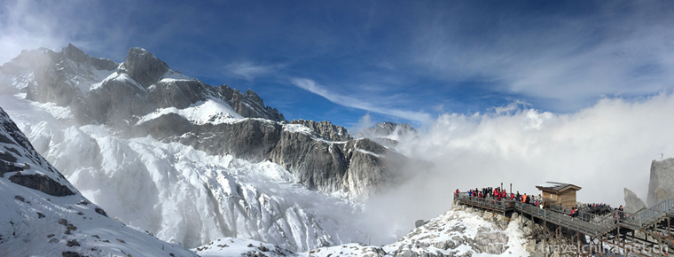 Yulong Snow Mountain
 -
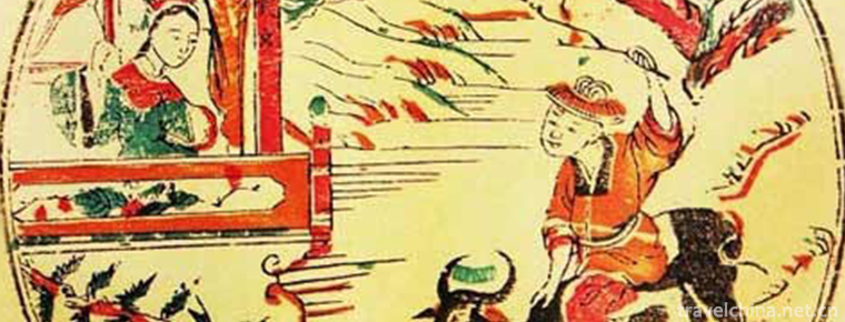 Foshan Wood Engraving New Year Pictures
2019-04-29
-
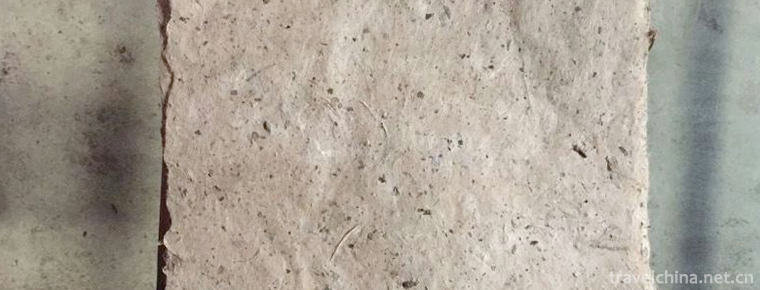 Mulberry Paper Making Skills
2019-06-12
0 Questions